Revolutionize Urban
and Rural Development

Book a Demo
80
Faster Data Collection
40
Cities Mapped
15
Million Acres Mapped

Transformative Capabilities of Aereo's Drone Solutions

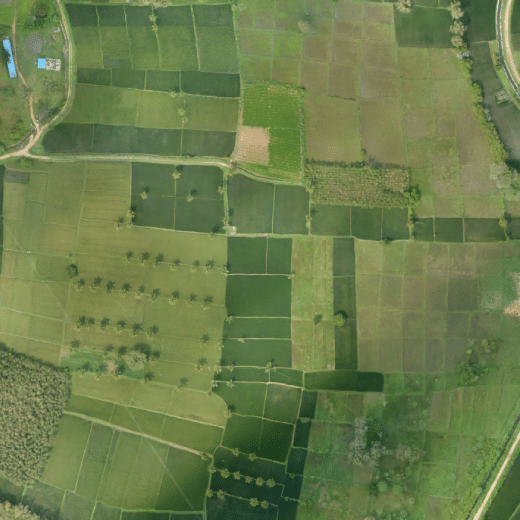
Faster and Accurate Land Parcel Mapping

  • Enabling digitization of land records through high-resolution drone surveys
  • Survey 100+ hectares in a single flight
  • Use accurate drone survey data for land dispute resolutions and property taxation

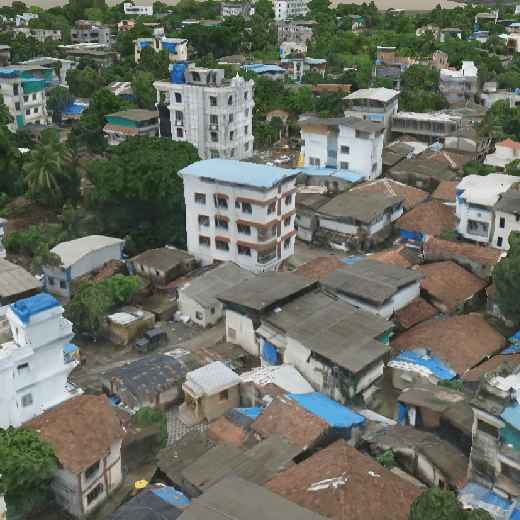
High-Resolution 2D Base Maps and 3D Twin Model Creation

  • Create accurate 2D base maps with multi-stage cloud processing and quality checks
  • Power your construction projects, asset management, and town planning with detailed 3D twin model creation

Drone-Powered Infrastructure

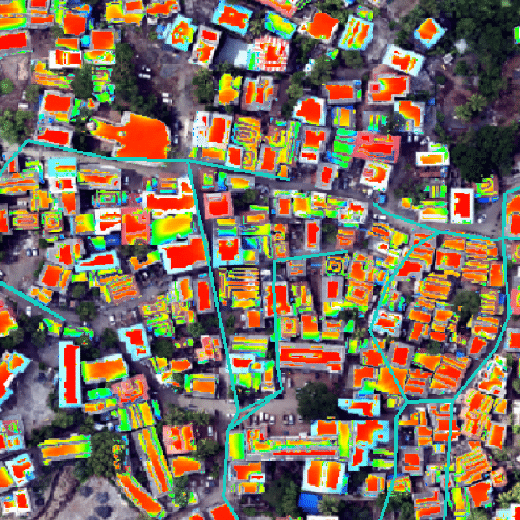
  • Conduct solar rooftop potential analysis for optimum solar panel placement and energy generation
  • Use drone survey data for village expansion and industrialization
  • Utilize high-resolution geospatial data to build and maintain large-scale infrastructure such as roads, railways, etc.
  • Providing high-accuracy datasets for network planning

Climate Resilient Planning

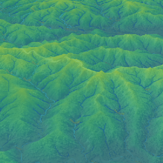
  • Prepare for natural disasters with flood simulations and terrain analysis
  • Develop natural watersheds with efficient drainage networks by using aerial data in your planning

Unleashing Innovation

The Technology behind Aereo's Integrated Drone Solutions

Transform industry-specific operations with fast and accurate drone surveys and advanced business analytics.

Learn More
Ready to take the next step?

Get In Touch