Data Driven
Aerial Intelligence
From drone data capture to deeper insights, all in a single package
How It Works
01
Harvest: Industry-Specific Aerial Data Capture
- Aereo's highly trained and experienced drone operators carry out precision drone operations.
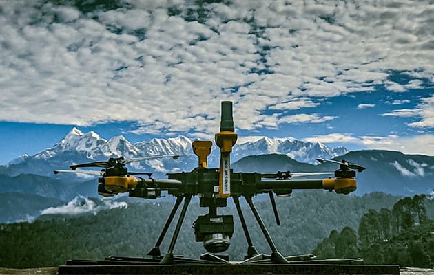
- State-of-the-art purpose-built drones efficiently collect large volumes of data with unparalleled accuracy.
- The ultra-high resolution data is uploaded to Aereo Cloud for further processing.

02
Harness: Processing and Advanced Analytics in One Place
- Once uploaded on Aereo Cloud, the high-volume raw data is converted into usable outputs in native formats.
- Outputs such as point clouds, elevation models, and 2D & 3D maps are analyzed in industry-specific analytics engines to improve project site planning, development, & monitoring.
- Aereo's team of experts conducts multiple quality checks & analyses for exceptional outputs.

03
Democratize: Seamless Data Sharing Made Possible
- Aereo Cloud is a device-agnostic platform that enables 360-degree visibility for enterprise stakeholders
- True digitization begins with accessibility. Aereo Cloud runs on low bandwidth internet and is scalable with high integrability.
- This enables more democratic data usage across enterprises and users without hassle.

