Enhancing Organization-wide

Productivity

Aereo is a leading drone solutions provider that enables informed decision-making, faster turnaround, and enhanced efficiency of your projects using end-to-end drone solutions.

Empower Your

People

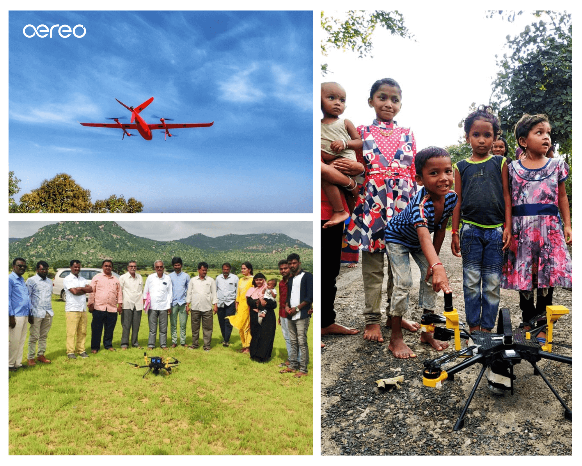
Aereo's drone solutions have a profound and lasting impact on human lives. By enabling efficient urban and rural planning, and addressing industry-specific challenges, we drive meaningful transformation that touches the lives of billions, empowering individuals and communities to thrive.

Ensure a Sustainable Impact on

Planet

We enable enterprises to meet their ESG and SDG objectives. Aereo's solutions facilitate the reduction of carbon footprints and expedite the adoption of renewable energy through the utilization of big data and drone-powered insights. Together, we can drive positive change for a sustainable future.

Aereo's Impact Over a Decade

45000

villages mapped

15million

acres of area mapped

750

mine surveys done

120million

lives touched

Explore Aereo's Drone Services

Built For Diverse Industries

Mining

Services Offered

  • Volumetric Analysis
  • Statutory plan vs actual progress
  • Mine Safety Assessments
  • Environmental Compliance Monitoring
Read More

Infrastructure

Services Offered

  • Detailed Project Report Surveys
  • Construction Progress Monitoring
  • Deviation analysis
  • Inventory Management
Read More

Urban & Rural Development

Services Offered

  • Land parcel mapping
  • 2D base maps & 3D twin models
  • Rooftop solar PV potential
  • Flood simulations
Read More

Forest Conservation

Services Offered

  • Watershed development
  • Encroachment identification
  • Tree counting & species identification
Coming Soon

Unleashing Innovation

The technology behind Aereo's integrated drone solutions

Transform industry-specific operations with fast and accurate drone surveys and advanced business analytics.

Learn More

Follow in the Steps of Leading Organizations

We've been actively using Aereo's drone solutions for volumetric assessment since the better half of this decade regularly, even on a weekly basis at our Mines and Captive Power Plants. Their drone mapping, volumetric analytics, and other solutions have significantly helped us streamline our processes at our plants and mines with better accuracy, improved operational efficiency and decision-making in our processes too.

Shouvik Majumder, VP Mining, Hindalco

Aereo (formerly AUS) is a go-to technology partner when it comes to conducting drone surveys and analytics in record time. They have lent their years of expertise to projects such as irrigation planning, urban and rural development, and archaeological surveys.

Rahul Johrapurkar, Jt. Managing Director, Ceinsys

Aereo is one of the leading drone manufacturing and services company that has helped propel the SVAMITVA scheme as a reliable and competent partner with its drone manufacturing expertise and drone services portfolio offerings to capture images for more than 40,000 villages across the country. Drone survey offers cost-effective solutions to lot of challenges associated with cadastral mapping and record preparation or modernization of conventional processes

Pankaj Mishra, Deputy Surveyor General, Survey of India

Our Tata Steel mines are spread across a vast area in States of Odisha & Jharkhand. Digital mine monitoring for high level mine visibility into operations is extremely important for compliance, safety and also higher productivity from mines. The drone based digital mine mapping, volume survey and mine analytics requires scalability with accuracy. Aereo's end to end solutions, especially their cloud platform has helped us achieve these key metrics and implement them at a large scale.

Piyush Srivastava, Chief NRD, Tata Steel

Ready to take the next step?

Get In Touch